Integrated Geoscience Solutions
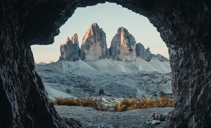
1. Geo-Technical Investigations
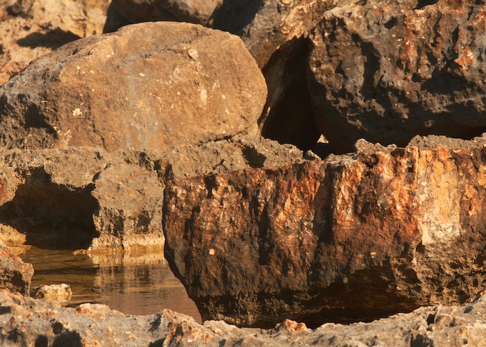
- Geotechnical feasibility studies.
- Soil and rock sampling, in-situ and laboratory testing.
- Foundation engineering and design recommendations.
- Slope stability and landslide risk analysis.
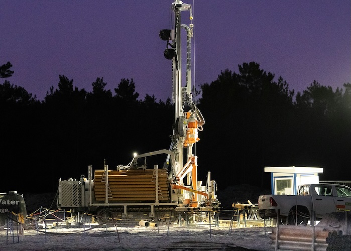
- Borehole drilling supervision and core logging.
2. Dolomite Stability Assessments
- Dolomite risk zoning and hazard classification.
- Sinkhole and subsidence investigations.
- Geophysical surveys for void and cavity detection.
- Stability evaluations and mitigation design.
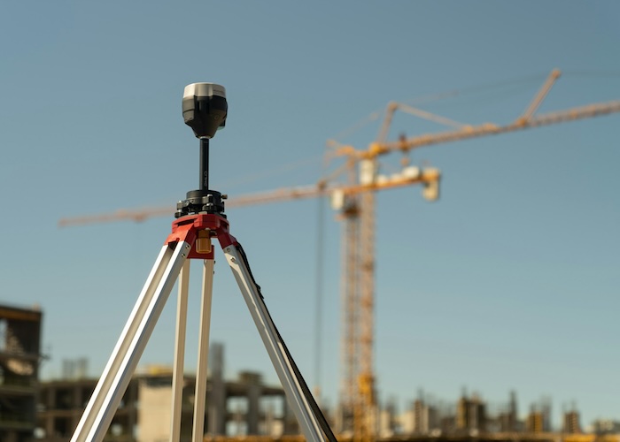
3. Geophysical Surveys
- Seismic refraction and reflection surveys.
- Electrical Resistivity Tomography (ERT).
- Ground Penetrating Radar (GPR).
- Electromagnetic, Magnetic and gravity surveys.
- Downhole geophysical logging.
- Integrated geophysical interpretation and modeling.
4. Hydrogeological & Groundwater Services
- Hydrogeological assessments and aquifer characterization.
- Groundwater exploration and borehole siting.
- Aquifer pumping tests and yield optimization.
- Surface and groundwater quality analysis including monitoring.
- Hydrogeological monitoring networks and long-term data logging.
- Groundwater modeling and flow studies.
- Water resource management and sustainable yield assessments.
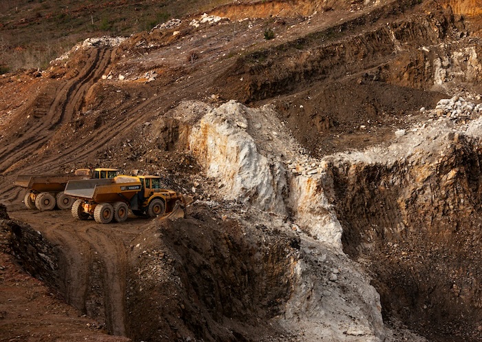
5. Mining Exploration & Support
- Geological mapping and structural interpretation.
- Mining exploration program design and management.
- Mineral resource estimation.
- Borehole drilling and logging for exploration.
- Borrow pit and construction material investigations.
- Mine closure and rehabilitation planning.
- Geotechnical support for mining operations.
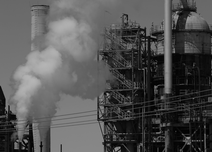
6. Environmental & Regulatory Services
- Environmental Impact Assessments (EIA) – specialist geoscience input.
- Contaminated site investigations (Phase I & II ESAs).
- Soil and groundwater remediation planning.
- Environmental Management Plans (EMP).
- Water use license applications and compliance reporting.
7.Geological Modeling & Spatial Analysis
- Detailed geological mapping (surface and subsurface).
- 3D geological and geotechnical modeling.
- Remote sensing (satellite imagery, LiDAR).
- Geographic Information Systems (GIS) applications.
- Data integration and digital twin development.